

 English
  Hrvatski
  Deutsch
  Italiano
  Polski
  Čeština
  Slovenčina
  Slovenščina
 Beaches and bays - Hvar Island, Sućuraj
Česminica ¦ Bilina ¦ Mlaska ¦ Perna ¦ Towards the Cape ¦ Mačak cape and "under the road" ¦ Valica and Blace ¦ Prapatna and Židigova ¦ Mrtnovik ¦ Brigove ¦ Didina ¦ North side (the rest) ¦ South side (the rest)


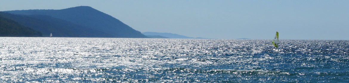
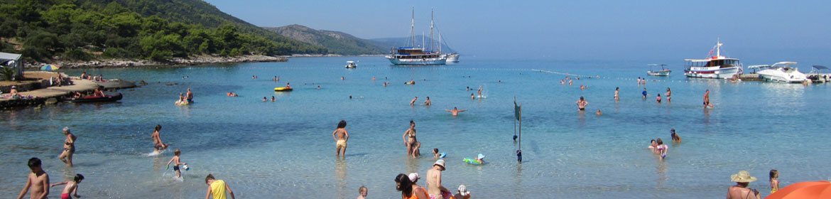
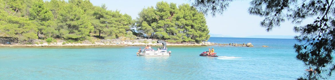
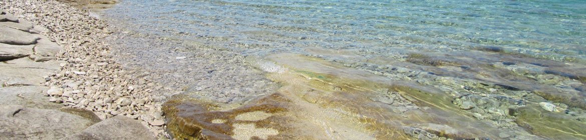
 Thanks to a climate with a large number of sunny hours, beautiful nature and crystal clear sea, with temperatures for swimming from May to October, Sućuraj is an attractive tourist destination. Those who wish to spent a day swimming and sunbathing will find it very pleasant here, because there are more than 25 km of shore with picturesque sand, pebble or stone beaches and bays. Some of them have public beaches, but in most of them you can enjoy the wilderness of untouched nature. You can spend your day on the beach near the town centre or find a hidden corner just for yourself. With the exception of the harbor, swimming is possible everywhere in the area in or near Sucuraj. Sućuraj's coastline expands on both the north and the south side of the island of Hvar, which is a great advantage. If the south wind blows, there is calm sea on the north side and vice versa, so the pleasure is guaranteed no matter the conditions.
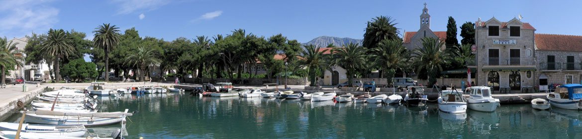
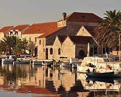
Welcome to pebble, stone or sandy beach in Sućuraj on the island of Hvar in Croatia!
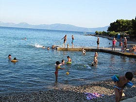
Česminica beach
 south side
- main local beach in the bay of the same name
- distance from the center: about 200 meters
- pebble, stone and concrete shore
- sandy and shallow sea bottom
- showers and toilets
- coffie-bar
- protected by buoys
- suitable for small children
- access on foot, by car, scooter, bicycle and boat
Photo gallery of Česminica beach
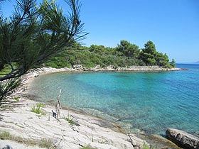
Bilina beach
 north side
- unspoiled nature
- local beach
- distance from the center: about 500 meters
- pebble and stone shore
- pebble and stone sea bottom
- flat rocks suitable for sunbathing
- toilet
- protected by buoys
- therefore suitable for small children
- access on foot, by car, scooter, bicycle and boat
Photo gallery of Bilina beach
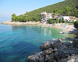
Beach in Mlaska bay
 north side
- Velika Mlaska – bathing costume part
- Mala Mlaska – nudist part (FKK)
- beach and car camp
- distance from the town: 4 km (asphalt road)
- sand, pebble and concrete shore
- sandy and shallow sea bottom
- showers and toilets
- restaurant and shop
- buoys for safety
- suitable for small children
- access on foot, by car, scooter, bicycle and boat
Photo gallery of Mlaska bay
Beach in Perna bay
 south side
- unspoiled nature
- distance from the town: 2,5 km (gravel road)
- stone shore, with large deposits of Posidonia algea on the bottom of the bay
- sandy and shallow sea bottom
- access on foot, by car, scooter, bicycle and boat
- suitable for swimming from boats
Photo gallery of Perna bay
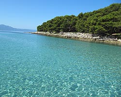
Towards the Cape
 south side
- stone shore between the port and the lighthouse
- distance from the center: from 100 to 800 meters
- rocky sea bottom
- flat rocks suitable for sunbathing
- access on foot, by car, scooter, bicycle and boat
Photo gallery
Mačak cape and "under the road"
 south side
- Mačak cape is located between Česminica beach and Valica bay
- "under the road" is shoreline from Česminica beach to the ferry dock
- stone shore on both sides of Česminica bay
- rocky shoreline
- distance from the center: from 200 to 800 meters
- rocky sea bottom
- flat rocks suitable for sunbathing
- access on foot, by car, scooter, bicycle and boat
Photo gallery
Valica and Blace
 south side
- two bays between Česminica and Perna
- distance from the town: from 1 to 2 km
- pebble, stone and concrete shore
- suitable for small children
- access on foot, by car, scooter, bicycle and boat
Photo gallery
Prapatna and Židigova
 south side
- unspoiled nature
- two bays west from Perna
- distance from the town: from 3 to 4 km
- pebble and stone shore
- sandy, pebble and stone sea bottom
- straight stone panels suitable for sunbathing
- access by boat and on foot fallowing the coast line (demanding path)
Photo gallery of Prapatna bay
Photo gallery of Židigova bay
Mrtnovik bay
 south side
- almost unspoiled nature (one building on the shore)
- distance from the town: 10 km
- pebble and rocky shore
- pebble and stone sea bottom
- suitable for small children
- access by boat and on foot
Photo gallery of Mrtnovik bay
Brigove bay
 north side
- almost unspoiled nature (one object on the shore)
- distance from the town: 3,5 km
- pebble shore
- sandy and pebble sea bottom
- access by boat and on foot following the coast line from Mlaska bay (demanding path)
Photo gallery of Brigove bay
Beach in Didina bay
 north side
- distance from the town: 10 km
- pebble and stone shore
- pebble and stone sea bottom
- access by boat
Photo gallery of Didina bay
North side (the rest)
 Besides before mentioned beaches and bays on the north side, swimming is possible along the whole north side of Sucuraj's coastline. From the lighthouse to Bilina there are both stone and pebble parts of the shore. A part of the rocky shore is flat and suitable for sunbathing. There is an asphalt road from the lighthouse via Bilina to Lučica and further an untarsealed road. This road passes a few bays and ends at Mlaska, with most of the road running along the shoreline. After Mlaska there is no more road whatsoever so access to bay is possible only by boat. Most of this coastline is unspoiled.
Photo gallery
South side (the rest)
 Other places on the south side that haven't been mentioned, but are also suitable for swimming are bays: Mala Perna, Žukova, Rasovaca, Oka vina, Juta grma, Slivanjske lučice, Carevića Vala and Bočić. There are no buildings in these bays, except an occasional old stone cottage so you can enjoy unspoiled nature.At the bottom of these bays there are most often pebbles. After Blace bay there is no road leading by the coastline. It is possible to reach Rasovica and Carevića bays by gravel road (map here), but you can reach the rest of the south side shore only by boat.
Photo gallery
Beaches and bays - island Hvar, Sućuraj: Česminica beach, Bilina beach, Mlaska beach, Perna beach, Towards the Cape, Mačak cape, Valica and Blace, Prapatna bay, Židigova bay, Mrtnovik bay, Brigove Bay, Didina bay, North side (the rest), South side (the rest)


